

Kontur delivers products and software solutions for transforming underground conditions into actionable insight. We enable fact-based and informed decisions when evaluating the subsurface. Our end-to-end workflow, Plan – Collect – Analyze – Visualize, helps professionals work smarter, faster, and safer.
From intelligent software solutions to high-performance GPR systems, Kontur ensures quality and efficiency in every step, reducing risks in budgets as well as in the field, for private companies and agencies alike.
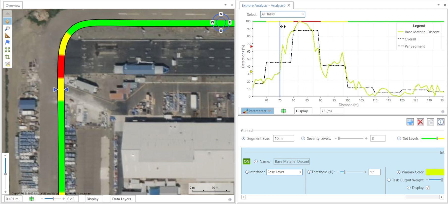
Our latest innovation, Kontur Orbit, takes this even further by bringing intelligence and automation into data interpretation, reducing overall project time from planning to final deliverables, and streamlining collaboration, thereby supporting maintenance planning and budget prioritizations. This non-destructive evaluation method results in superior subsurface insights for our users, supporting safe and thriving communities.
Kontūr – Subsurface Insights
Watch the video with sound

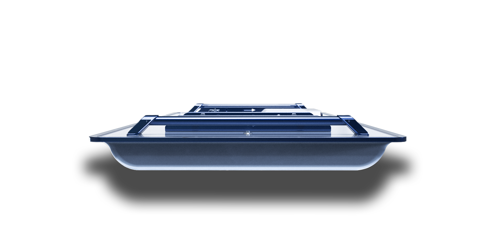
From Precision Hardware to Powerful Software
Welcome to Kontūr
Kontur Workflow
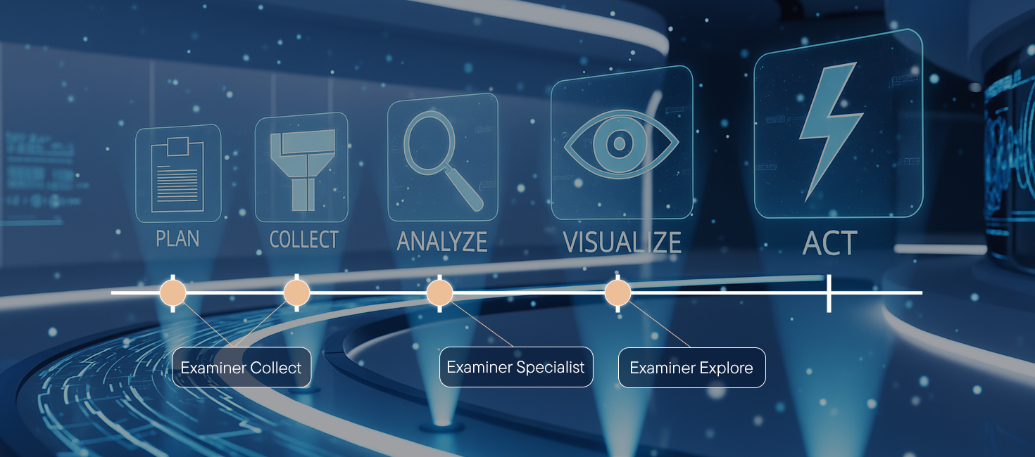
- Plan: Examiner Collect
- Collect: Examiner Collect
- Analyze: Examiner Specialist / Kontur Orbit
- Visualize: Examiner Explore


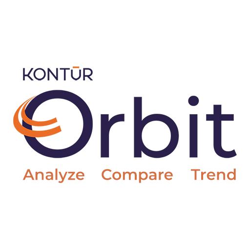
Intelligence and Automation for Subsurface Insights
Kontur Orbit is a next-generation software-as-a-service (SaaS) platform that transforms how road and infrastructure professionals extract value from complex subsurface data. Built on decades of ground-penetrating radar (GPR) expertise, Kontur Orbit automates interpretation processes and delivers actionable insights – fast, accurate, and without the need for deep technical knowledge.


In Action
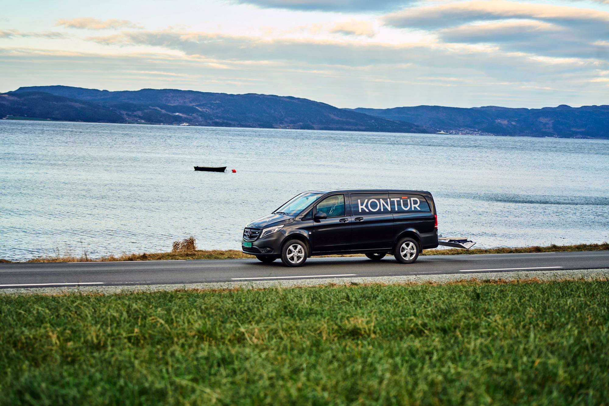
Our customers are at the forefront of ground-penetrating radar (GPR) applications, using our sensors to enhance efficiency, accuracy, and decision-making across various industries. You’ll find detailed case studies from professionals who have successfully integrated Kontur GPR into their projects.
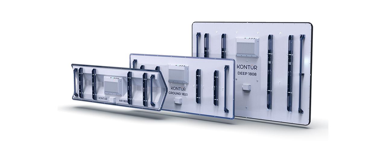
One System many Applications
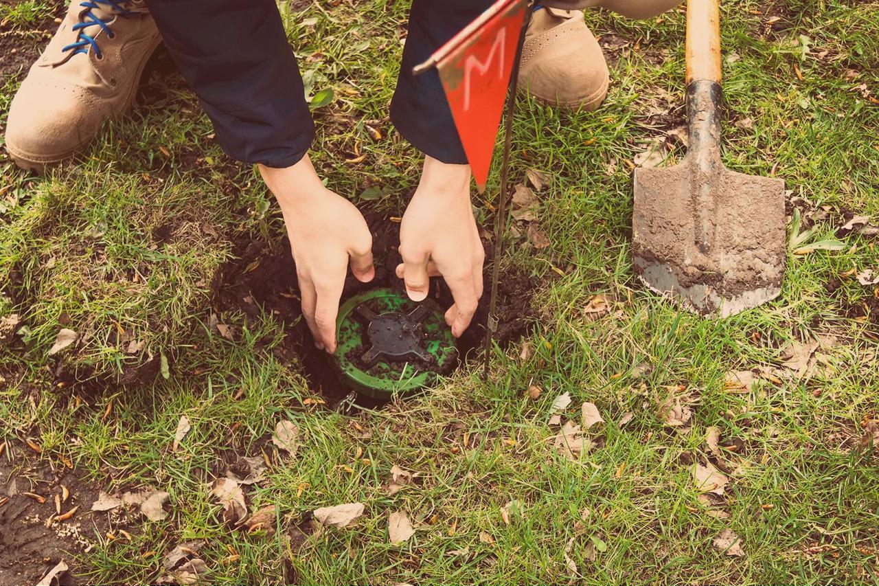
Have you ever thought about the benefits of having one GPR system that can be utilized in a variety of business areas? Our solutions are designed to be versatile and adaptable, making them applicable in infrastructure, utility mapping, railways, and mine detection. Use the same equipment for a variety of surveys.


Trusted Testimonials


Kontur is by far the best system on the market. The system is reliable and always delivers high quality data. The quick and fast data acquisition is complemented by the Examiner software which handles big data files very smoothly.


The Kontur system opened up new markets for us virtually overnight and was very much worth the investment. The system is robust, simple to configure, to deploy, and is supported by a superb software tool


Kontur is a fast and reliable system for aviation. We can collect data for any circumstance, known or unknown at the time of the survey. We can always answer any new queries by changing analysis settings, without the need to revisit these critical and sensitive sites.