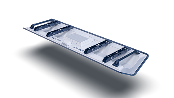
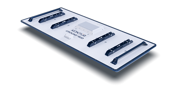
Most infrastructure data stops at the surface. That’s why projects run into unexpected issues.
- Unknown utilities
- Hidden defects
- Incomplete documentation


Combine Mobile Mapping and 3D GPR to capture a comprehensive, measurable view of your infrastructure.
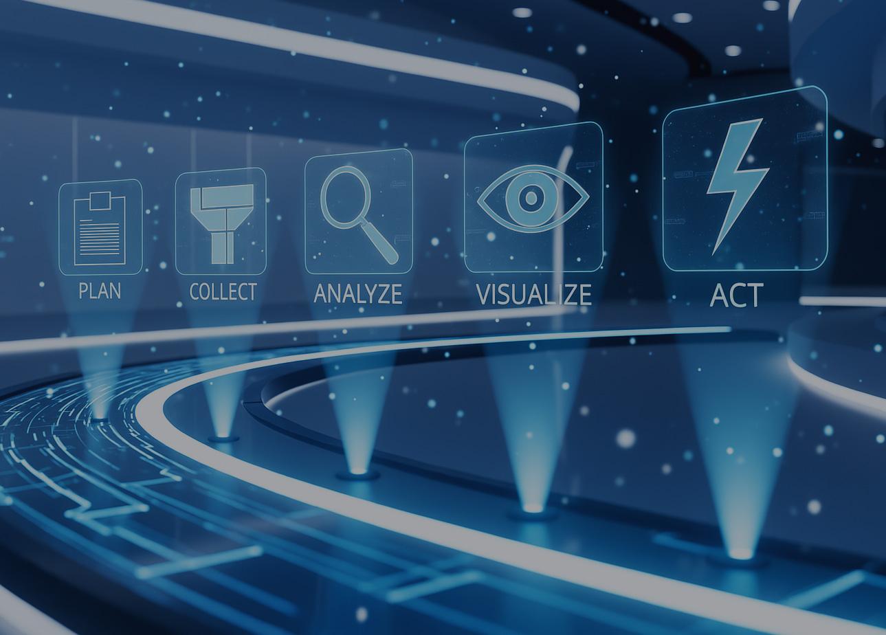
By combining Mobile Mapping and 3D GPR, you capture both surface and subsurface conditions in one synchronized workflow. Then merge the information into one joined 3D digital twin.
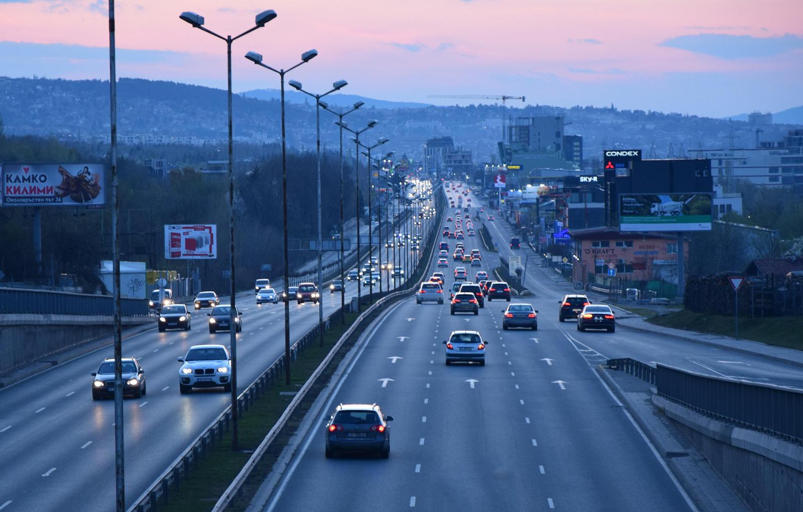
Most infrastructure data stops at the surface. That’s why projects run into unexpected issues.
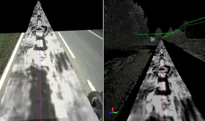
Most surveys only tell half the story. Kontur's GPR technology pairs with mobile mapping systems to capture what's hidden beneath the surface — simultaneously with above-ground data collection — so you never have to choose between speed and completeness.
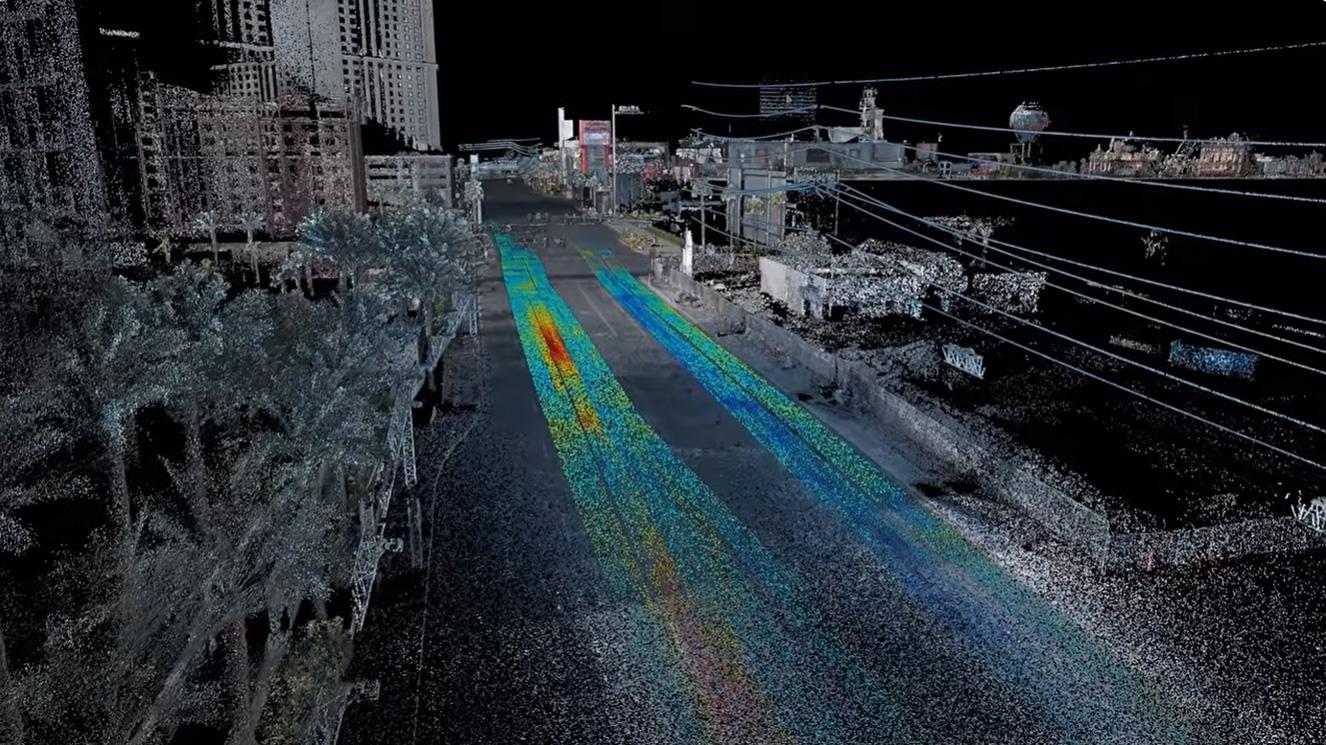
Road assessments, utility conflict checks, construction planning — all depend on knowing what's below, not just what's visible. Gaps in subsurface data cause project delays, utility strikes, and costly redesigns. Kontur closes that gap before work begins.
We’ll help you explore how Mobile Mapping and GPR can be applied to your infrastructure – based on your specific needs.